


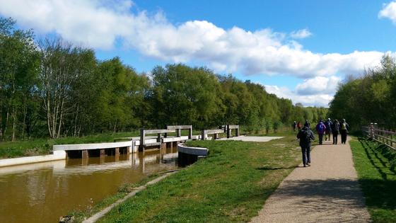
This walk takes the route of now disused railway lines, known locally as ‘loop lines’. It then crosses the East Lancs Road and joins the Bridgewater Canal for the final section leading to Worsley. You can download a copy of the walk below.
The walk is one of ten that make up the Salford Trail which help you to explore the heritage, countryside and rural areas of Salford.
The Salford Trail is a new, long distance walk of about 50 miles/80 kilometres and entirely within the boundaries of the City of Salford. The route is varied, going through rural areas and green spaces, with a little road walking in between. Starting from the cityscape of Salford Quays, the Trail passes beside rivers and canals, through country parks, fields, woods and moss lands. It uses footpaths, tracks and disused railway lines known as 'loop lines'. The Trail circles around to pass through Kersal, Agecroft, Walkden, Boothstown and Worsley before heading off to Chat Moss. After crossing this vast landscape, the Trail returns to Salford Quays from the historic Barton Aqueduct.
The Trail has been divided into sections, each accessible by public transport. There is a leaflet for each section describing the route and giving the transport options.
For more information on public transport in Greater Manchester please visit the TFGM website.